

Planetary Geodynamics Laboratory
Two Columns
Crustal Deformation
Laboratory staff involved in crustal deformation studies

|
| Jeanne Sauber |
Measurements
|
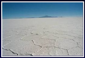
Paleo-lake rebound studies using GPS in the Western USA and in Bolivia help reveal mantle properties. (B. Bills) |
|
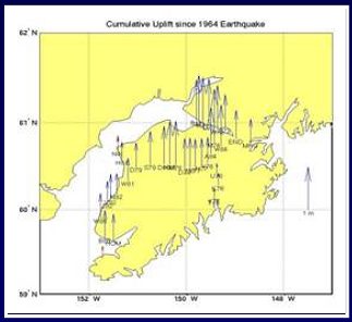
Uplift since 1964 on Kenai Peninsula and adjacent areas plotted relative to a tide gauge station at Seward. (S. Cohen) |
|
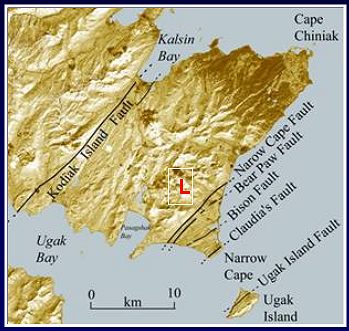
SRTM (Shuttle Radar Topography Mission) and Landsat-7 data were used to re-assess the seismic hazard of Kodiak Island, where a launch facility (L) is located. Recent surface ruptures were found, and a new seismic risk and environmental impact study was ordered. (J. Sauber) |
Modeling
|
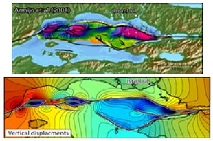
Modeled surface structure for slip on specified faults (bottom) compared with observed surface (top) (J. Muller) |
|
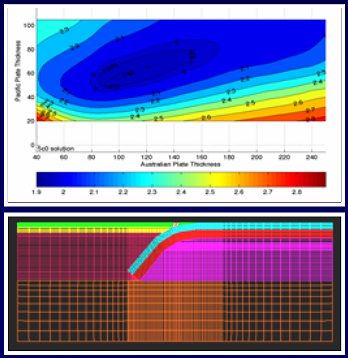
Finite element models of the subduction in New Zealand are constrained by GPS and other data. (S. Cohen) |
+ Home