Geologic maps are an important context tool for the study of planetary surfaces. The United States Geological Survey has for decades maintained a program of publishing such maps, not only for the Earth, but for the Moon and planets as well. Geological mapping of Mars has been going on since the first global image data sets became available, and continues today as newer higher resolution data permit more detailed interpretations of surface features. Scott Mest has joined a long and prestigious list of such mappers by publishing his first geologic map of Mars.
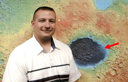
Picture of Scott mest in front of an image of Mars Topography. A red arrow shows location of the geologic map.
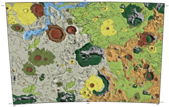
Mest’s map covers an area east of the large Hellas impact basin that includes a
portion of the Reull Vallis, a large fluvial feature that drains SW towards Hellas.
The landscape has been significantly modified by fluvial processes and much of
the intercrater plains in this region appear to be derived from old surfaces by such
processes.
Scott Mest is a Ph.D. candidate in the Department of Geology and Planetary Science at the University of Pittsburgh and a second year NASA Graduate Student Researcher Program (GSRP) fellow, currently in residence in the Geodynamics Branch. He received a B.S. (Geology) degree from West Chester University of Pennsylvania and a M.S. (Planetary Science) from Pittsburgh. Scott's research involves studying the geologic and morphologic character of highland terrains adjacent to large impact basins, and the styles and timing of highland degradation processes. He is using MOLA Digital Elevation Models (DEMs) to identify drainage basin divides and model watershed development in the martian highlands.
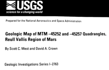
Cover of the map done by Scott Mest recently published by USGS
Contact: Scott Mest, GSFC, Code 921 (mest@kasei.gsfc.nasa.gov)
![]()
 Back to Geodynamics Science Highlights
Responsible NASA official: Dr. Herbert Frey