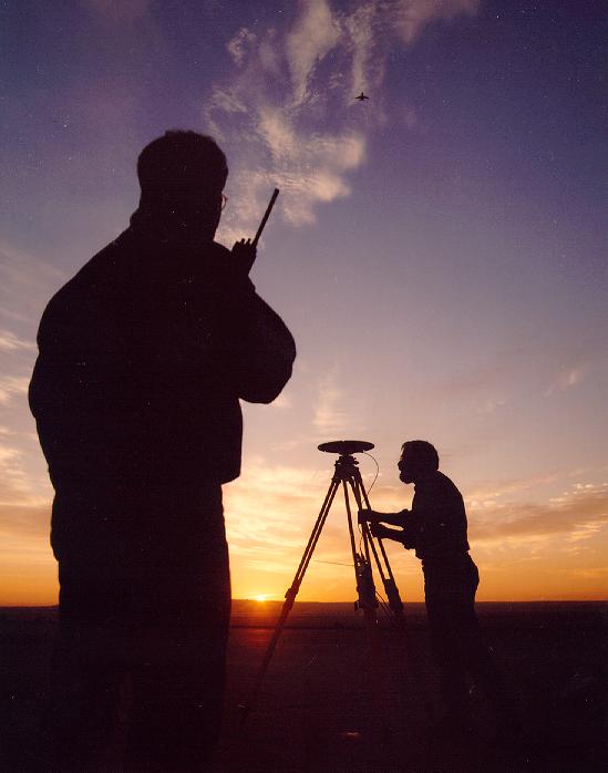
This is a shot taken by Rick Huey of Wallops Island, who was with us
to photo-document the mission. This image shows Earl Frederick working our
GPS ground station, David Pierce coordinating ground support and the T-39
in the sky taking data. It is common practice to overfly the GPS ground
station for calibration of the instrument. It allows us to verify that
everything is properly running by finding the antenna in the topographic
data.
Back to the RASCAL Miscellaneous IMAGES page...
Return to the RASCAL home page...