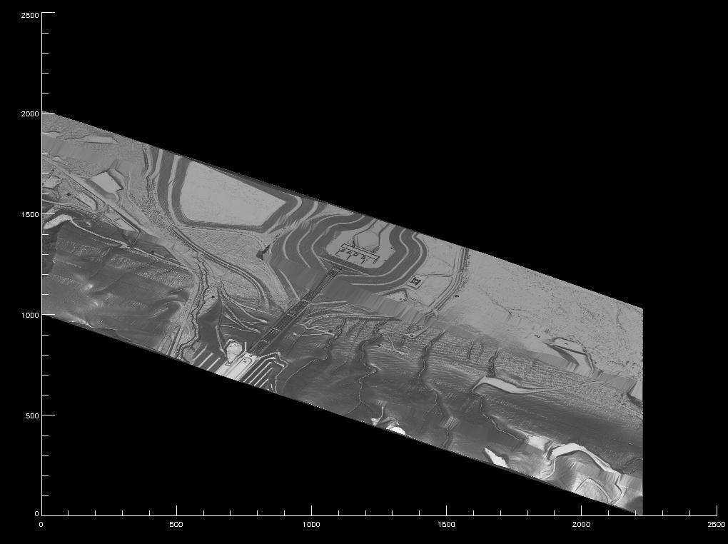
This is the exact same data as the image from another section in this
gallery. You can really see the human affect on the terrain when looking
downward on the 3d image. The pipes coming up the hill look as though
they are running flat along the ground, but their position is very easy
to spot. The scale on the image is meters, so this is a 2.5km square
image. The ridges are a little hard to see, but the mountain shading and
river outlines are very interesting.
Back to the RASCAL IMAGES page...
Return to the RASCAL home page...