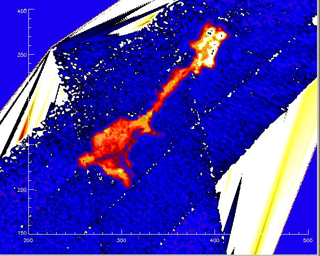
North Point is one of several islands in the Poplar chain in the Chesapeake
Bay near Goddard Space Flight Center. Jim Garvin had us use our test
flight dollars in doing mapping of small islands, and this was the result
of 3 passes of the test flight. There is only 1 meter of relief in this
image, so the island barely pokes above the water. The terrain is very
well defined in this image and gives a base line to study erosion effects
and human land creation on this small chain of islands.
Back to the RASCAL IMAGES page...
Return to the RASCAL home page...