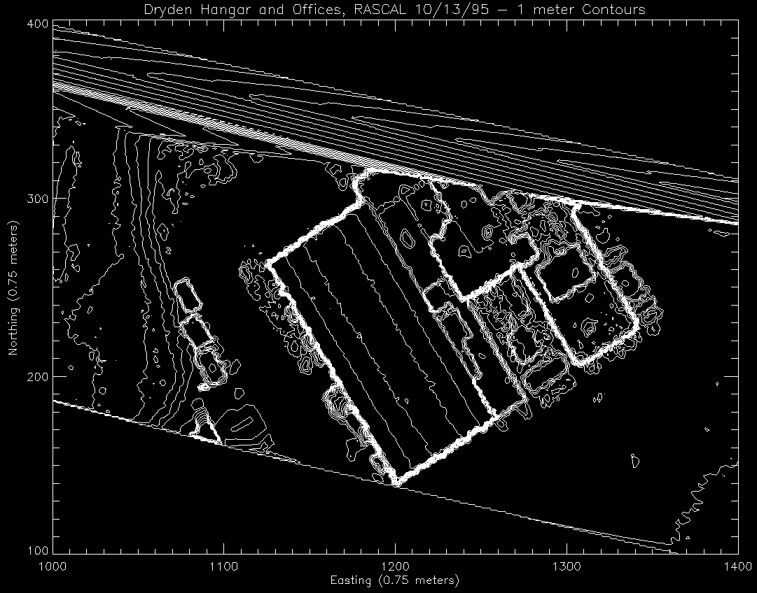
This image is a contour map made from the Dryden hangar data. The contour
is a 1 meter vertical and three quarters of a meter easting and northing respectively for
each axis. This is just another way to visulaize the data, and the same
sort of features that are brought out in the downlooking 3d are seen
here.
Back to the RASCAL IMAGES page...
Return to the RASCAL home page...