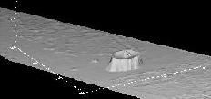
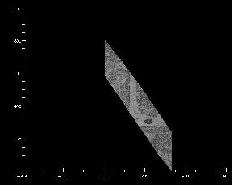
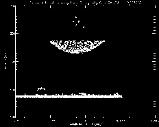
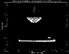
And below are some plots made using IDL with the data taken from this flight.
Click on the image to see a larger version:
   |
  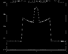 |
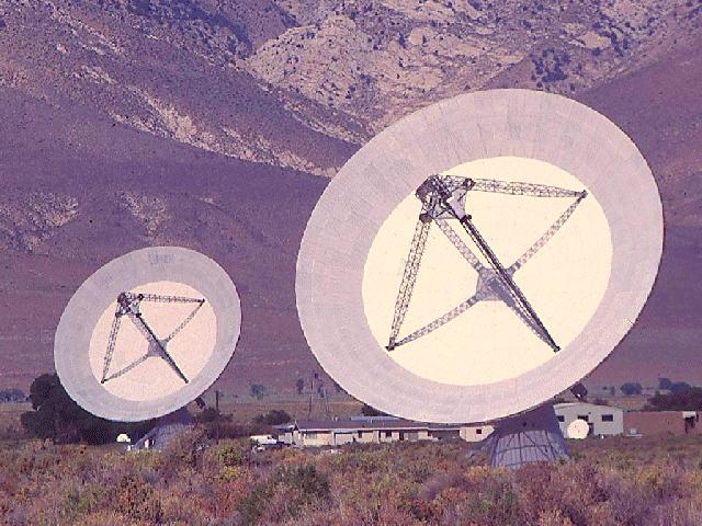
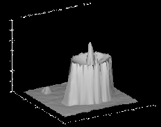
While looking through our Death Valley data, I came across what looked to be a very man
made object in the data. Upon closer inspection I realized that we had painted
an antenna very well with the instrument. Here are some images made from that pass.
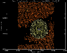
These ground stations (only one hit with RASCAL) are used by some by a group here
at Goddard for measurements. It just so happens that they had an image
of the dish that we measured. Below is a scanned photograph of the 30 meter
dishes.
|
|
|